Interactive Bible Map: Explore the Places, Journeys, and Context of Scripture
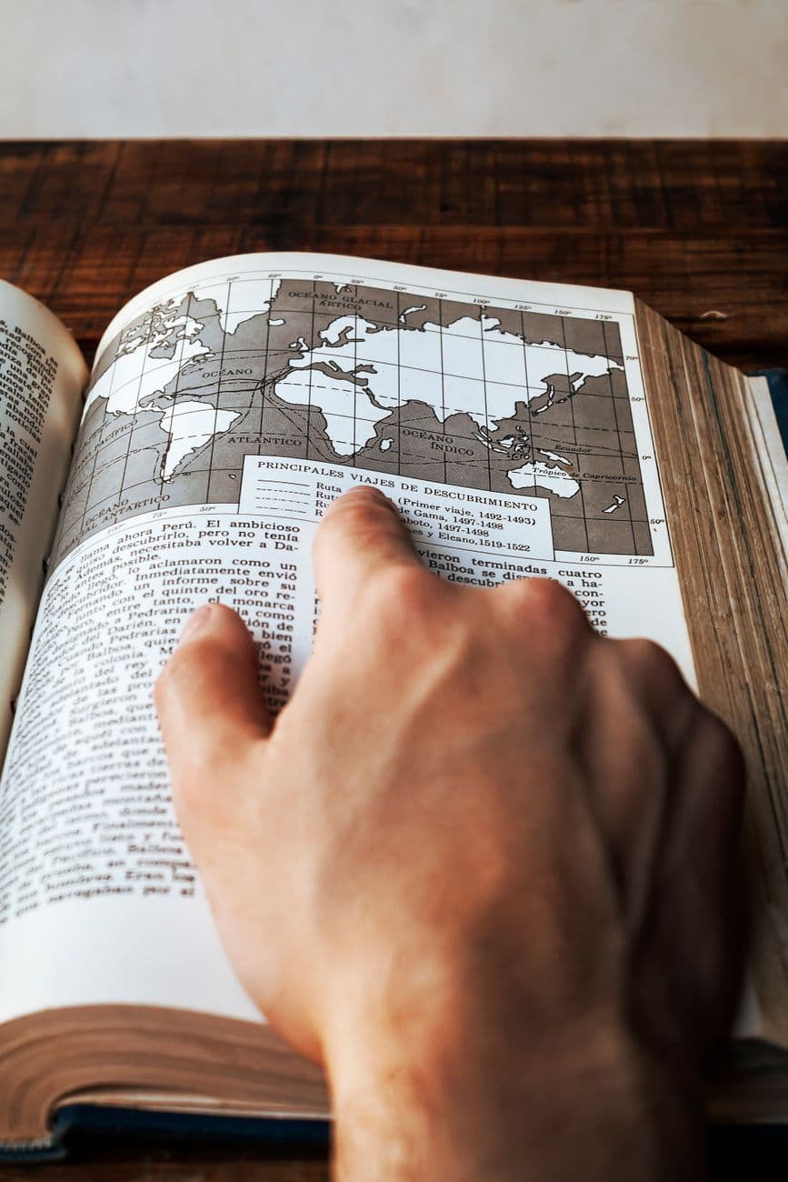
Why Geography Changes Everything About How You Read the Bible
An interactive Bible map is one of the most underused tools in modern Scripture study — and that's a costly oversight. When you read that Paul traveled from Antioch to Corinth, or that Jesus walked from Galilee to Jerusalem, those names can feel abstract. Pin them on a map, measure the distances, and suddenly the text breathes. A journey that reads like a sentence in Acts becomes a 1,400-mile odyssey across sea and mountain terrain.
Geography is not background noise in the Bible. It's theology made physical. The wilderness where Israel wandered wasn't just a setting — it was a crucible. The Jordan River wasn't just water — it was a boundary between promise and fulfillment. Understanding where events happened reshapes your understanding of why they happened.
This guide walks you through how to use interactive biblical maps effectively, what to look for, which features matter most, and how to connect geography with cross-references, themes, and historical context for deeper study.
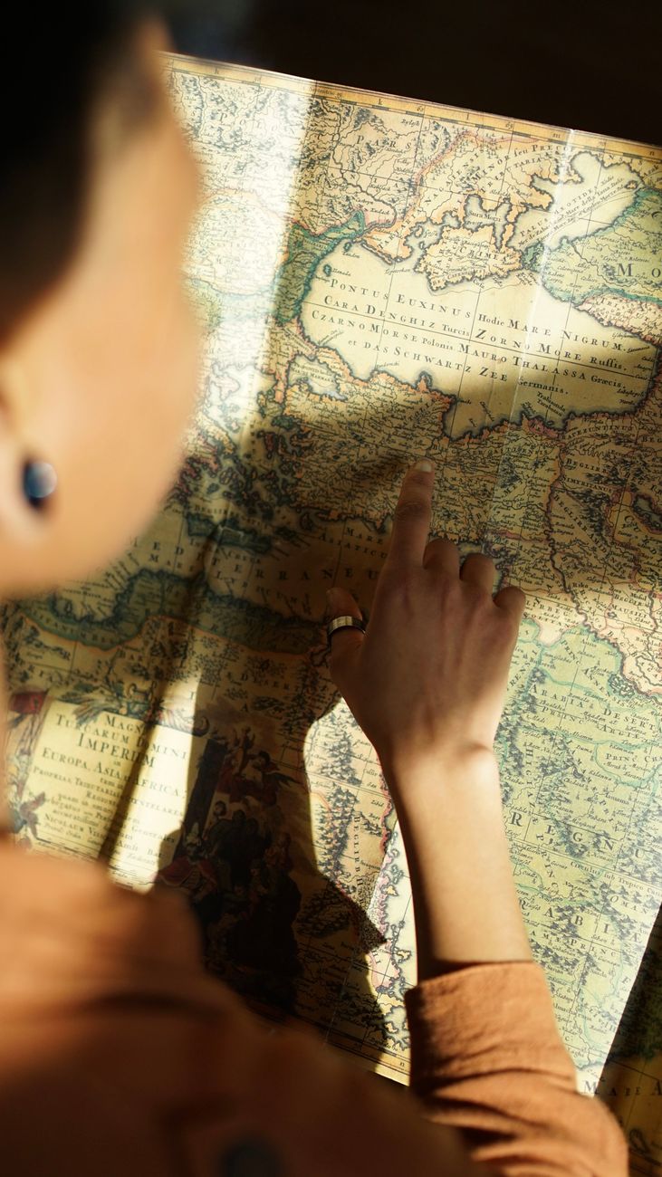
What Makes a Bible Map Truly "Interactive"
Not all digital Bible maps are created equal. A static image of the ancient Near East is useful but limited. A genuinely interactive Bible map lets you do several things a printed map cannot.
First, it connects map locations directly to Scripture verses. Click on Capernaum, and you should see every passage where that city appears — from the healing of the paralytic in Matthew 14 to Jesus' base of ministry in the Gospels. That verse-to-location linkage is the core feature that separates a study tool from a reference image.
Second, a good interactive map layers historical context — empire boundaries, trade routes, tribal territories, and time periods. The land of Canaan under Joshua looks nothing like Roman Palestine under Herod. Switching between eras on the same map reveals how dramatically the political landscape shifted across centuries of biblical history.
Third, the best tools now integrate what researchers call Bible knowledge graphs — structured data networks that connect places, people, themes, and cross-references. So when you click on "Babylon," you don't just see a dot on a map. You see its role in the exile, its symbolic use in Revelation, and every cross-reference that ties the literal city to its theological meaning.
Core Features Worth Looking For
- Verse-to-location linking: Every named place connects to the passages that mention it.
- Era filtering: Toggle between the Patriarchal period, the Monarchy, the Exile, the Second Temple period, and the New Testament era.
- Journey overlays: Trace Paul's missionary journeys, the Exodus route, or Jesus' ministry travels as animated or layered paths.
- Cross-reference integration: See thematically related verses alongside geographic data.
- Multiple translations: Read the passage in context using ESV, NIV, KJV, or other versions without leaving the map view.
Prism Bible App's interactive Bible map brings these features together in one place, connecting geographic exploration directly to in-depth Scripture analysis and cross-references.
How to Use an Interactive Bible Map for Serious Study
Most people open a Bible map, look at it for thirty seconds, and close it. That's the wrong approach. Treat the map as a primary study layer, not an optional add-on. Here's a concrete method that actually deepens comprehension.

Step 1 — Anchor Every Passage to a Location
Before you analyze a passage theologically, locate it geographically. Reading Matthew 1? Find Bethlehem on the map. Note that it sits about six miles south of Jerusalem — close enough that Herod's paranoia in chapter 2 makes immediate political sense. That proximity is invisible in the text alone.
Make this a habit. Every time a place name appears, pause and locate it. Over weeks, you'll build a mental geography of the biblical world that makes future reading faster and richer.
Step 2 — Trace the Journey, Not Just the Destination
Biblical narratives are full of journeys that carry meaning in their routes. The road from Jerusalem to Jericho drops roughly 3,300 feet in elevation over 17 miles — through rocky, bandit-prone terrain. That's not incidental to the Good Samaritan parable. It's the reason the story is set there.
When you trace Paul's second missionary journey on an interactive map, you see him crossing from Asia into Europe at Troas — a moment Acts 16:9 marks with a vision. On a map, you see that crossing the Aegean wasn't just a travel decision. It was the Gospel entering an entirely new continent. The distance, the sea crossing, the cities he chose — all of it gains weight when you can see it.
Step 3 — Layer Empire Boundaries Over the Narrative
The Bible spans roughly 1,500 years of recorded history, and the political map changes dramatically across that span. Egypt, Assyria, Babylon, Persia, Greece, and Rome each controlled the land of Israel at different points. Knowing which empire was dominant during a given passage completely changes how you read it.
Daniel's visions, for instance, make far more sense when you can see the empires he names mapped against actual historical geography. Babylonia wasn't just a name — it was a specific, massive empire centered on the Euphrates River, stretching from modern Iraq into Syria. Seeing that on a map makes Daniel's position as an exile in a foreign imperial capital viscerally real.
Step 4 — Connect Geography to Cross-References
This is where knowledge-graph tools become genuinely powerful. When a location appears in both the Old and New Testaments, the cross-reference chain often reveals deliberate theological echoes. Bethel, for example, is where Jacob had his dream of the ladder to heaven (Genesis 28). Centuries later, it became a center of idolatrous worship under Jeroboam. Still later, Amos preached against it. Each mention builds on the last.
An interactive map that surfaces these cross-references as you explore a location turns a geographic dot into a theological thread. You're not just seeing where something happened — you're seeing how that place accumulates meaning across the entire canon.
The Most Significant Biblical Journeys to Explore on a Map
Some journeys in Scripture reward map-based study more than others. These five are a strong starting point.
- The Exodus Route — The path from Egypt through the Sinai Peninsula to Canaan is one of the most debated routes in biblical archaeology. Two main theories place the crossing of the "Red Sea" (or Sea of Reeds) at either the northern marshes near the Mediterranean or further south near the Gulf of Suez. An interactive map that shows both proposed routes lets you evaluate the textual evidence yourself rather than accepting a single tradition uncritically.
- Paul's Three Missionary Journeys — Covering roughly 10,000 miles across three trips, Paul's journeys transformed the ancient Mediterranean world. Seeing the full scope on a map — Antioch to Cyprus, through Asia Minor, across to Macedonia, down to Athens and Corinth, back through Ephesus — makes the scale of his work staggering. The Bible Gateway Encyclopedia entry on Paul's journeys provides useful supplementary detail on the chronology.
- Jesus' Ministry in Galilee and Judea — The contrast between Jesus' early ministry in rural Galilee and his final week in Jerusalem is geographic as well as theological. Galilee was a peripheral, mixed-culture region; Jerusalem was the political and religious center. His deliberate movement from one to the other is a narrative arc visible only on a map.
- The Babylonian Exile and Return — Tracing the deportation routes from Jerusalem to Babylon and then the return under Cyrus the Great puts books like Ezra, Nehemiah, and Lamentations in immediate context. The distance from Jerusalem to Babylon is roughly 900 miles — a brutal march for exiles carrying nothing.
- Abraham's Journey from Ur to Canaan — Genesis 12 describes Abraham leaving Ur of the Chaldeans for an unknown destination. On a map, you can see he traveled roughly 1,500 miles through Haran (in modern Turkey) before reaching Canaan. That's not a short trip on faith — it's a continental migration.
Common Mistakes Bible Students Make With Maps
Even with a great tool, a few habits consistently undermine effective map-based study. Avoid these.
Treating Modern Political Borders as Biblical Ones
The modern state of Israel, Jordan, Lebanon, Syria, and Egypt do not correspond to any single biblical era's political map. Overlaying modern borders onto ancient narratives creates confusion. Always use era-specific maps. When studying the divided kingdom, for instance, you need a map that shows Israel in the north and Judah in the south — not a modern political boundary.
Ignoring Elevation and Terrain
Most Bible maps show a flat, top-down view. But terrain matters enormously in biblical narrative. Jerusalem sits at roughly 2,500 feet above sea level. Jericho, 15 miles away, sits at 846 feet below sea level. That 3,300-foot descent in 15 miles shapes military strategy, trade routes, and even the emotional weight of "going up to Jerusalem" — a phrase that appears throughout the Gospels and is literally accurate.
Look for maps that include topographic layers or elevation data. They transform flat geography into a three-dimensional world.
Skipping the Cities You Don't Recognize
When a passage names an unfamiliar city, most readers skip it. That's a missed opportunity. Cities like Laodicea, Pergamum, or Thyatira — the recipients of letters in Revelation 2-3 — each had specific cultural and economic identities that the letters directly address. Laodicea was famous for its lukewarm water supply from distant aqueducts, which makes Revelation 3:16 ("because you are lukewarm") a pointed local reference, not just a metaphor.
Connecting Maps to Reading Plans and Deeper Study
Geography study works best when it's integrated into a consistent reading rhythm. A standalone map session is useful, but pairing geographic exploration with a structured Bible reading plan creates compounding understanding. As you move through a plan chronologically or thematically, you can update your mental map in real time.
For instance, a chronological reading plan that takes you through the historical books — Joshua, Judges, Samuel, Kings — is dramatically more coherent when you're simultaneously tracking the territorial expansion and contraction of Israel on a map. You see the land promised, conquered, divided, and lost. That visual arc carries emotional weight that a text-only reading can miss.
Prism's reading plans are designed to pair naturally with its scripture analysis tools, so you can move from passage to cross-reference to map context without switching between multiple apps. Get started with Prism Bible App to explore how geography, translation, and cross-reference tools work together in a single study environment.
What Emerging Bible Knowledge Graphs Add to Map Study
The most exciting development in digital Bible study isn't a flashier map — it's the underlying data architecture connecting maps to everything else. Bible knowledge graphs are structured databases that link entities: people, places, events, themes, and verses. When a map is built on top of a knowledge graph, clicking "Corinth" doesn't just show you a location. It surfaces Paul's letters to the Corinthians, the city's role as a Roman colony, its reputation for moral laxity, and every cross-reference that touches on those themes.
Logos Bible Software's research on Bible knowledge graphs has shown how linking semantic data to geographic data creates study experiences that are qualitatively different from traditional concordance-based research. The difference is that a concordance tells you where a word appears; a knowledge graph tells you how concepts, places, and people relate to each other across the entire text.
This is the direction serious Bible study tools are moving — and it's why an interactive map is no longer just a visual aid. It's becoming a navigation layer for the entire biblical world. Discover how Prism integrates these connections by exploring the Scripture study tools alongside the map feature.
Practical Tips for Getting the Most From a Knowledge-Graph-Powered Map
- Start with a specific passage, then let the map surface related locations rather than browsing aimlessly.
- Use cross-reference chains to follow a theme across both Testaments — geography often anchors those chains.
- Compare how a single location (like Jerusalem or Babylon) functions differently across different biblical eras.
- Note when a New Testament author references an Old Testament location — the echo is almost always intentional.
- Export or note the geographic data alongside your verse annotations for richer personal study records.
Biblical geography isn't a niche interest for scholars. It's a practical tool that makes the text more vivid, more coherent, and more personally meaningful for any reader. An interactive Bible map, used well, doesn't just show you where the Bible happened — it shows you why it happened the way it did.